51.5281° N, 0.1331° W · London, UK

Peter S

Geospatial data engineer

I build data pipelines that turn open geospatial and demographic data into reliable, documented datasets and maps: from LiDAR and Sentinel-2 to census, postcode and network data, on Databricks, Azure and PostGIS.

Open to geospatial data engineering roles.

Projects

Demographic & Geospatial Pipelines on Databricks

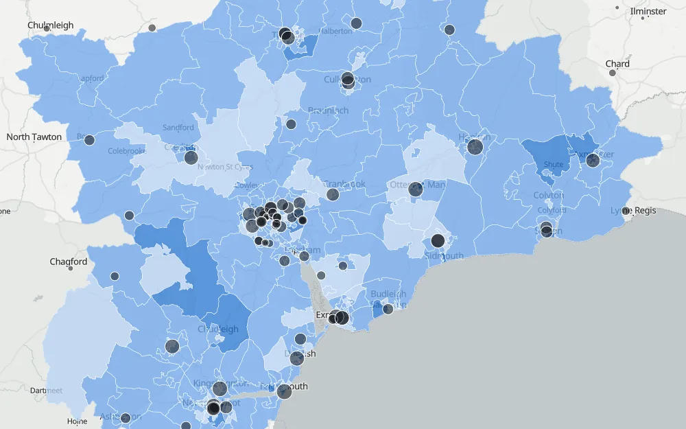
A medallion pipeline on Databricks joining (synthetic) GP registrations to NHS and ONS postcode, ODS and boundary data: native spatial joins in British National Grid, versioned lookups, reconciliation, pseudonymisation and disclosure control. Monthly updates arrive incrementally (Auto Loader, then MERGE into an effective-dated history); calibrated against real NHS England counts; an AI/BI dashboard with a map, deployed as code.

  • Databricks
  • PySpark
  • Delta Lake
  • Unity Catalog
  • Spatial SQL
  • Auto Loader
  • Asset Bundles
  • AI/BI Dashboards
  • GitHub Actions

Image: Registered patients per Census resident by LSOA around Exeter, with suppressed areas hatched
GB Census Population Map

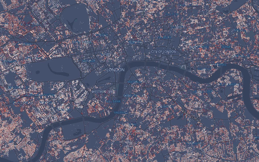
Census 2021/2022 population shared out to 41.6 million address points (UPRNs) across Great Britain using building footprints, then rasterised to a 10 m grid and served as a cloud-optimised GeoTIFF to an interactive map with click-to-identify.

  • Python
  • Census 2021
  • UPRN
  • Dasymetric mapping
  • Cloud-optimised GeoTIFF
  • GeoLibre

Image: Population per 10 m cell in central London, dark basemap with red population cells

Green Space Indicators for Devon

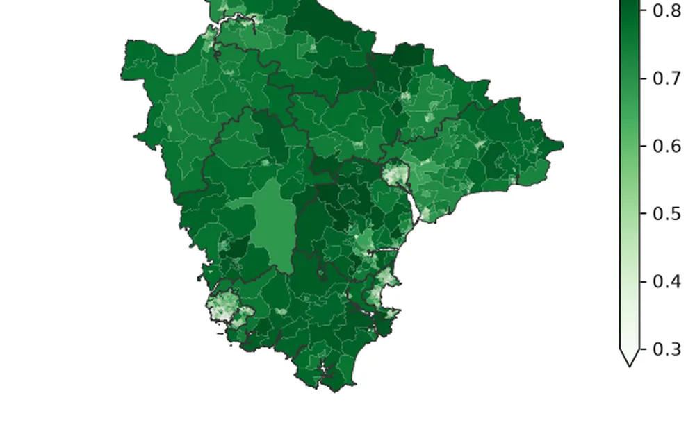
Share of residents within 300 m of public green space and summer greenness from Sentinel-2, for every Devon LSOA. Built as a geospatial lakehouse on Azure (ADLS Gen2, Delta Lake) and published with ISO 19115, DCAT-AP and SDMX metadata.

  • Azure
  • Delta Lake
  • Sentinel-2
  • Xarray
  • ISO 19115
  • DCAT-AP
  • SDMX

Image: Mean summer greenness (Sentinel-2 NDVI) for every LSOA in Devon, green choropleth

Fibre Planning Pipeline

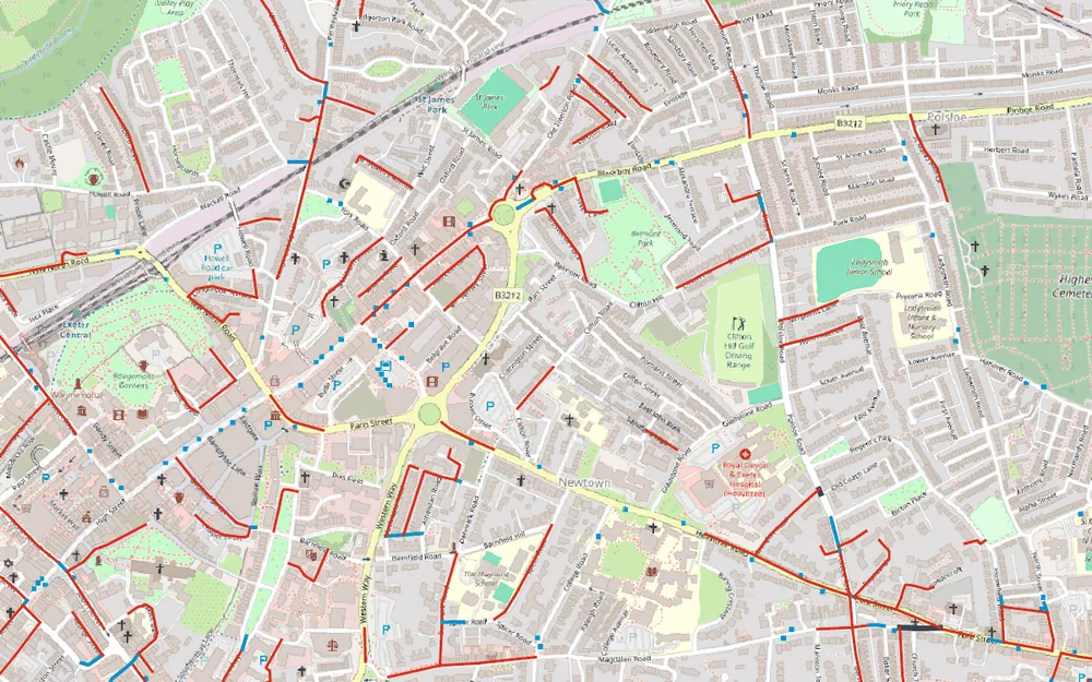
Which premises lack gigabit broadband, and which roads reach them: Ofcom coverage, census population per address and OS Open Roads combined into a ranked build plan. A Kedro pipeline into PostGIS, with a FastAPI service, GeoServer layers and a QGIS plugin.

  • Kedro
  • PostGIS
  • pgRouting
  • Alembic
  • FastAPI
  • GeoServer
  • QGIS
  • Docker

Image: Proposed cable network in central Exeter, gap streets in red and connecting routes in blue

LiDAR Building Footprints

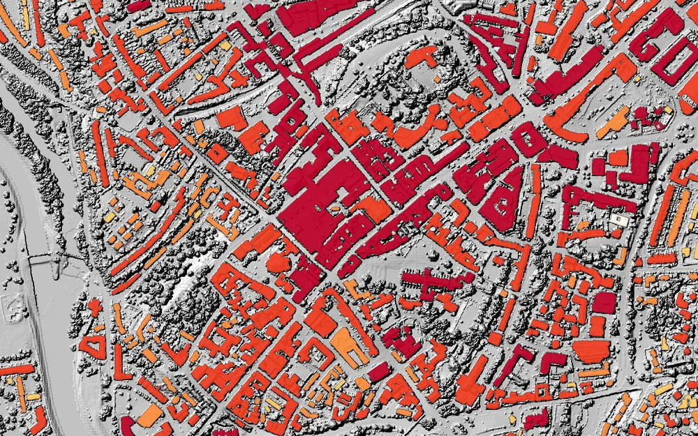
Building footprints and heights extracted from Environment Agency LiDAR for Exeter, and validated against Ordnance Survey, Microsoft and OpenStreetMap buildings.

  • LiDAR
  • Remote sensing
  • Machine learning
  • Sentinel-2
  • QGIS

Image: Building footprints in central Exeter shaded by height above ground over a LiDAR hillshade

Exeter Signal Atlas

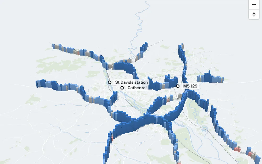
Ofcom drive-test 4G and 5G measurements on Exeter's roads, binned to a 100 m Ordnance Survey grid and shown as an interactive 3D map with operator, year and network filters.

  • Ofcom open data
  • DuckDB
  • GeoParquet
  • MapLibre
  • OpenStreetMap

Image: 3D columns of 4G signal strength along Exeter's roads on a light basemap

Skills by project

Demographic & Geospatial Pipelines on DatabricksGB Census Population MapGreen Space Indicators for DevonFibre Planning PipelineLiDAR Building FootprintsExeter Signal AtlasFallen Trees from Aerial Imagery
Python data pipelinesyesyesyesyesyesyes
SQL and spatial SQL (Databricks, PostGIS, DuckDB)yesyesyesyes
Cloud and lakehouse (Databricks, Azure, Delta Lake)yesyes
Pipeline orchestration (Databricks Jobs, Kedro)yesyes
APIs and OGC services (FastAPI, GeoServer)yes
Web mapping (MapLibre, GeoLibre)yesyesyesyesyesyes
Raster and cloud formats (COG, PMTiles, GeoParquet)yesyesyes
Remote sensing (LiDAR, Sentinel-2)yesyes
Data quality and reconciliationyesyes
Privacy: pseudonymisation, disclosure controlyes
Testing and CI/CD (pytest, GitHub Actions)yesyesyes
Metadata standards (ISO 19115, DCAT-AP, SDMX)yes
QGIS and PyQGISyesyesyes
Machine learningyesyes

Earlier work

Fallen Trees from Aerial Imagery Earlier work

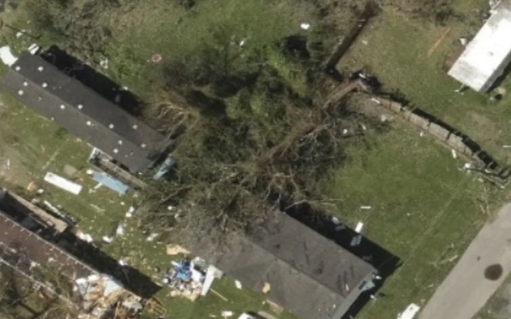
MSc thesis: detecting storm-felled trees in urban aerial imagery with a YOLOv3 convolutional neural network.

  • Deep learning
  • YOLOv3
  • Computer vision

Image: Aerial photo of storm damage with fallen trees between houses